《亚欧大陆资源环境与经济社会发展本底数据整编与空间化处理技术规范》
地理上的亚欧大陆,也称作“欧亚大陆”,是亚洲大陆和欧洲大陆的合称,面积达5000多万km2。从板块构造学说来看,亚欧大陆由亚欧板块、印度板块、阿拉伯板块和东西伯利亚所在的北美板块所组成。
本项目所提“亚欧大陆”属亚欧板块部分,特指俄罗斯、白俄罗斯、乌克兰、哈萨克斯坦、乌兹别克斯坦、吉尔吉斯斯坦、塔吉克斯坦、土库曼斯坦、阿塞拜疆、格鲁吉亚、亚美尼亚、立陶宛、拉脱维亚、爱沙尼亚、摩尔多瓦和蒙古国所在16国的地域。
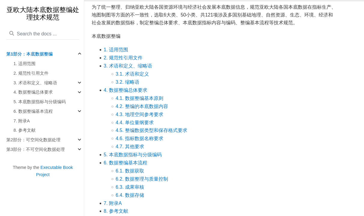
为了统一整理、归纳亚欧大陆各国资源环境与经济社会发展本底数据信息,规范亚欧大陆各国本底数据在指标生产、地图制图等方面的不一致性,选取6大类、50小类、共121项涉及多国别基础地理、自然资源、生态、环境、经济和社会发展的数据指标,制定整编总体要求、本底数据指标内容与编码、整编基本流程等技术规范。
Map Service Publishing Based on QGIS Server
Use the static document website tool Sphinx to establish a map service publishing, and management tool to support the development of the project. For the convenience of management, a directory hierarchical self-derivation system is established using folder naming rules to form a secondary directory structure.
Mapping uses QGIS Desktop. Map services are published through QGIS Server. Obtain metadata content based on OGC related standards, including title, abstract, author, data source, date and time, etc.
The organization and construction of content use the Python documentation tool Sphinx. By adding the Leaflet plugin as a functional extension, this static website generator has the ability to visualize map displays.
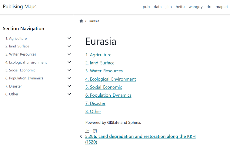
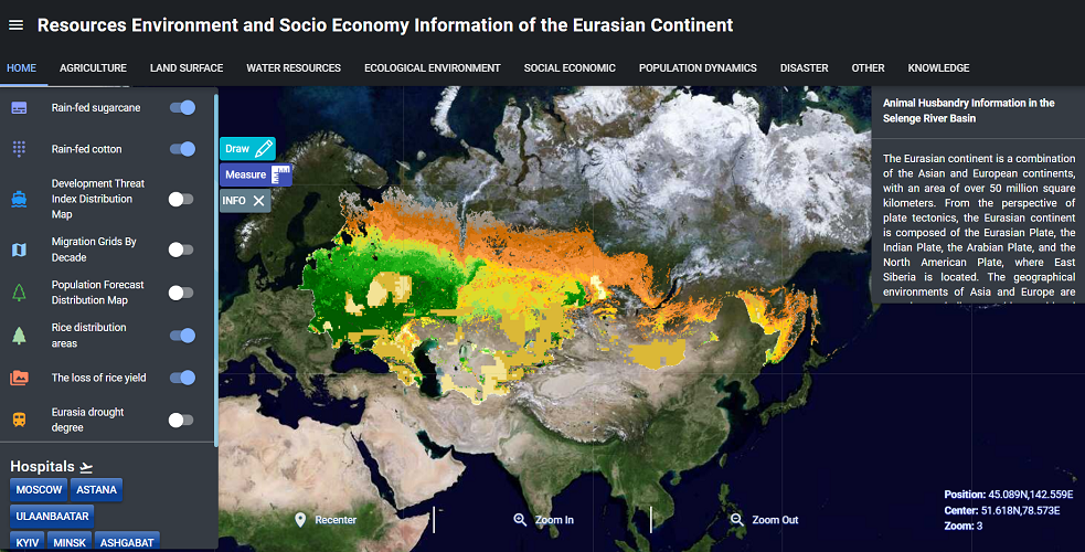
Eurasian Continental Geo-Spatial Data Visualization System
The Eurasian continent, also known as the Eurasian continent, is a combination of the Asian and European continents, with an area of over 50 million square kilometers. From the perspective of plate tectonics, the Eurasian continent is composed of the Eurasian Plate, the Indian Plate, the Arabian Plate, and the North American Plate, where East Siberia is located. The Eurasian continent can also be a nickname for the regions where the various member republics were located after the dissolution of the former Soviet Union. The geographical environments of Asia and Europe are complex and diverse, with transitional natural landscapes and distinctive economic and social development.
在线协同计算系统
(服务器维护中,暂不可用。)
Jupyter Notebook is a web-based interactive computing environment that can be used for data cleaning and transformation, statistical modeling, data visualization, machine learning, and more. For users of data analysis, it is suitable for data visualization. By adjusting code and parameters to update charts and visualization effects in real time, interactive data analysis and visualization operations can be carried out, which can help us better conduct data analysis and exploration.
Benefiting from the Debian GIS/Ubuntu GIS project, there are currently many open-source GIS software tools available in Linux systems, and many tools can be called by Python.
This platform is based on Python, open-source GIS, and open data to build an online collaborative computing environment, establish visualization tools, and complete interactive collaborative data analysis.